Image source: Photograph taken by Sarah Wilson
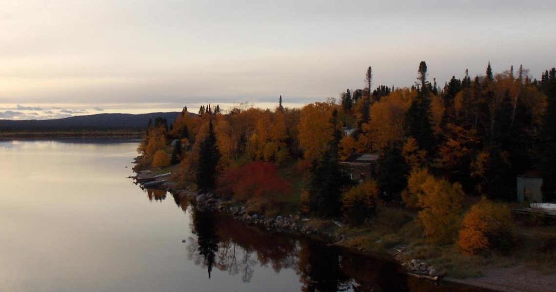
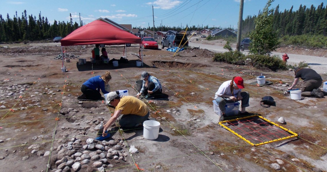
This MA thesis research explores concepts of place and cultural landscapes in northern Labrador through a literature review and field research involving a drone to map cultural features.
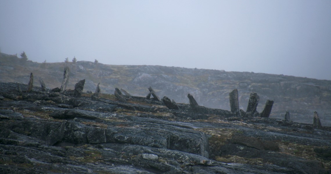
The landscape in northern Labrador is dotted with inuksuit (human-made rock stacks used for navigation, commemoration, hunting, and more) signifying a long-standing connection between people and the land. By considering the traditional knowledge, or way of knowing, respecting, and using resources from the environment, of Inuit in Labrador, I seek to understand ways of conceptualizing and memorializing landscape and place. This project serves as an examination of the application of data that drones can collect in summer and winter settings by collecting overlapping (photogrammetric) images. Geographic information systems (QGIS and ArcGIS) aid in examining the relation of inuksuit to topography and other features. This project looks at the relationship between humans and their surroundings, movement across vast spaces, methods of navigation, and connection to the land to argue for the importance of protecting cultural landscapes.